A number of years ago I created a large detailed board depicting Rommel's crossing of the Meuse during May, 1940. The ground covered stretched between Dinant in the south and Houx in the north. The battlefield was used successfully at Tacticon (Denver Colorado gaming convention) and now I've decided to bring it out once again. With new research, figures etc, it promises to be exciting. So here are the first initial photos showing the terrain around the small Belgian town of Houx.
Flying above the future French lines and looking back eastward, you see Houx in the upper left with the Ile de Houx along the top edge. The base of the steep hills bordering the Meuse can be seen to the right
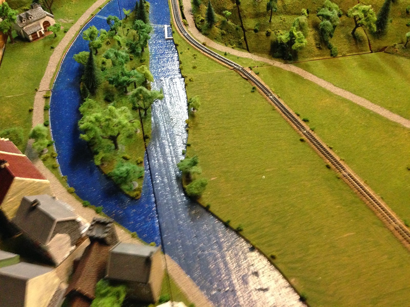
Looking down on Houx itself with the Ile de Houx to the left. A German Motorcycle Battalion will reach this ground during the night of May 12-13
Looking south over the Ile de Houx, you now see the most important feature in this sector: the Wier and Lock at the top of picture. French would be to the right
View of the said Wier and Lock, viewed from the east bank (German positions). It is during that fateful evening of May 12-13, that a lone company of German cyclists creep along the Wier to the Ile first, then to the west bank itself. The French are holding the heights of the hills seen in upper left and also located further to the west (top of photo) and will not impede the Germans! Rommel will have men across the river days before the French C-n-C General Gamelin, believes that the Germans can even reach the river!
Final preliminary photo show the Wier (right branch of Meuse) and Lock (left branch), with Houx at top right and French positions on the hills at left. The road and RR at top will enter the town of Anhee located off top of photo. Planning on recreating the fighting during the early hours of May 13 today, so hope to have some updates shortly. Viva la France!


No comments:
Post a Comment